OTELO & EGS
One of the OTELO field is located in the Extended Groth Strip, EGS. This region has been studied by the All-wavelength Extended Groth Strip International Survey (AEGIS). As reference, the figure shows the position of the EGS in the sky.
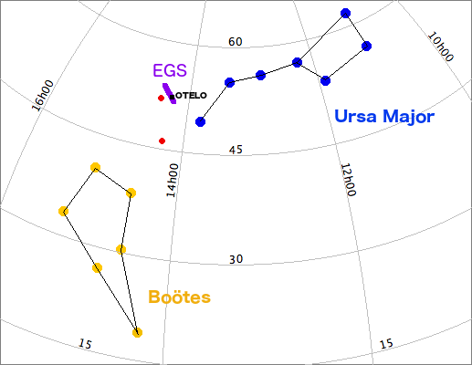
Figure: Position of EGS and OTELO field in the sky.
The chosen field provide ancillary data for most (although not all) the sources detected in OTELO. As reference we show in the Figure the wavelength coverage of the AEGIS) project. We also show the coverage of ACS/HST (and WFC2/HST) images in the OTELO region since such data have a larger spatial resolution than ground telescopes and it is interesting for morphological studies.
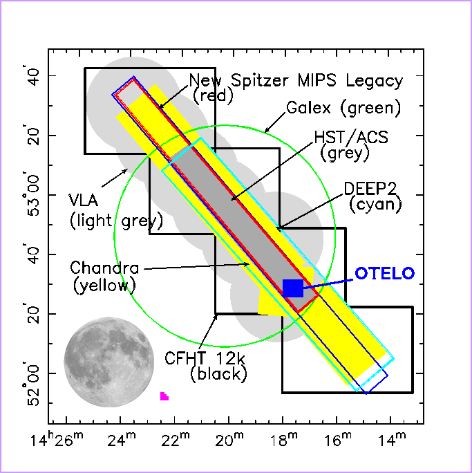
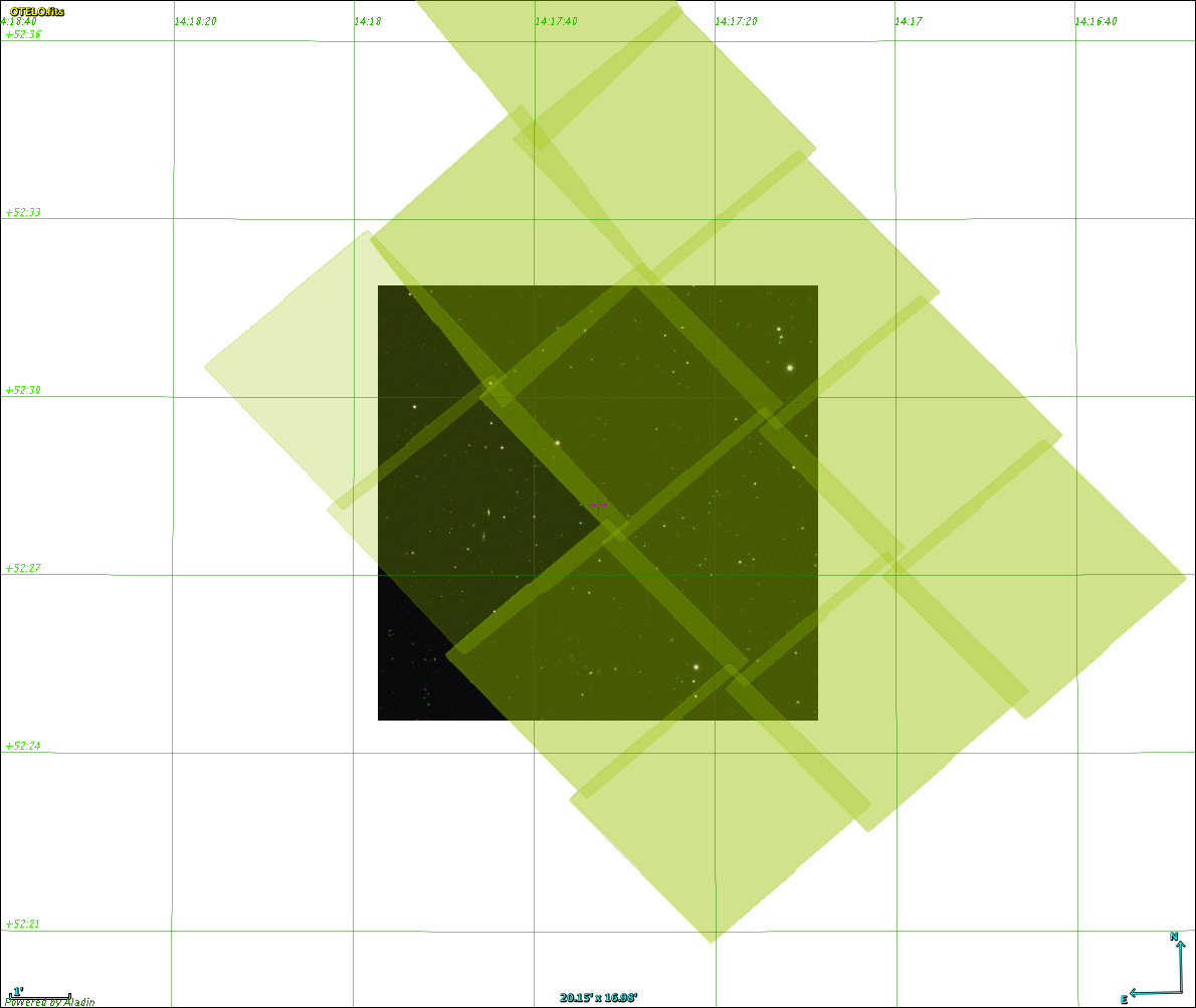
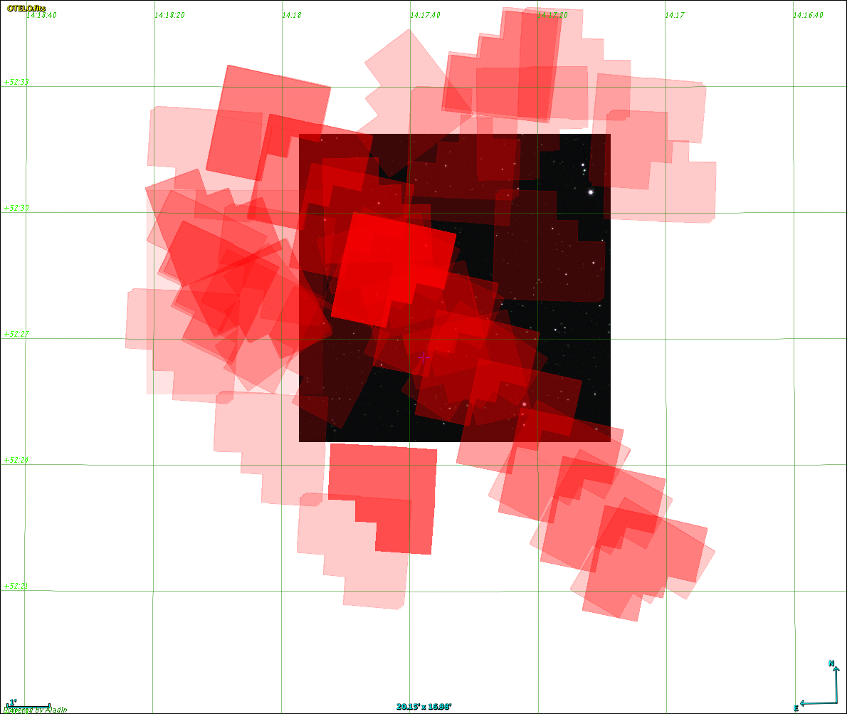
Figure: Top: Coverage and position of OTELO with respect to AEGIS (Figure adapted from AEGIS Web site). Bottom Coverage of ACS/HST (left) and WFC2/HST (rigth) in the OTELO area
